LA TOUR MADELOC
Détail de l'itinéraire
Description
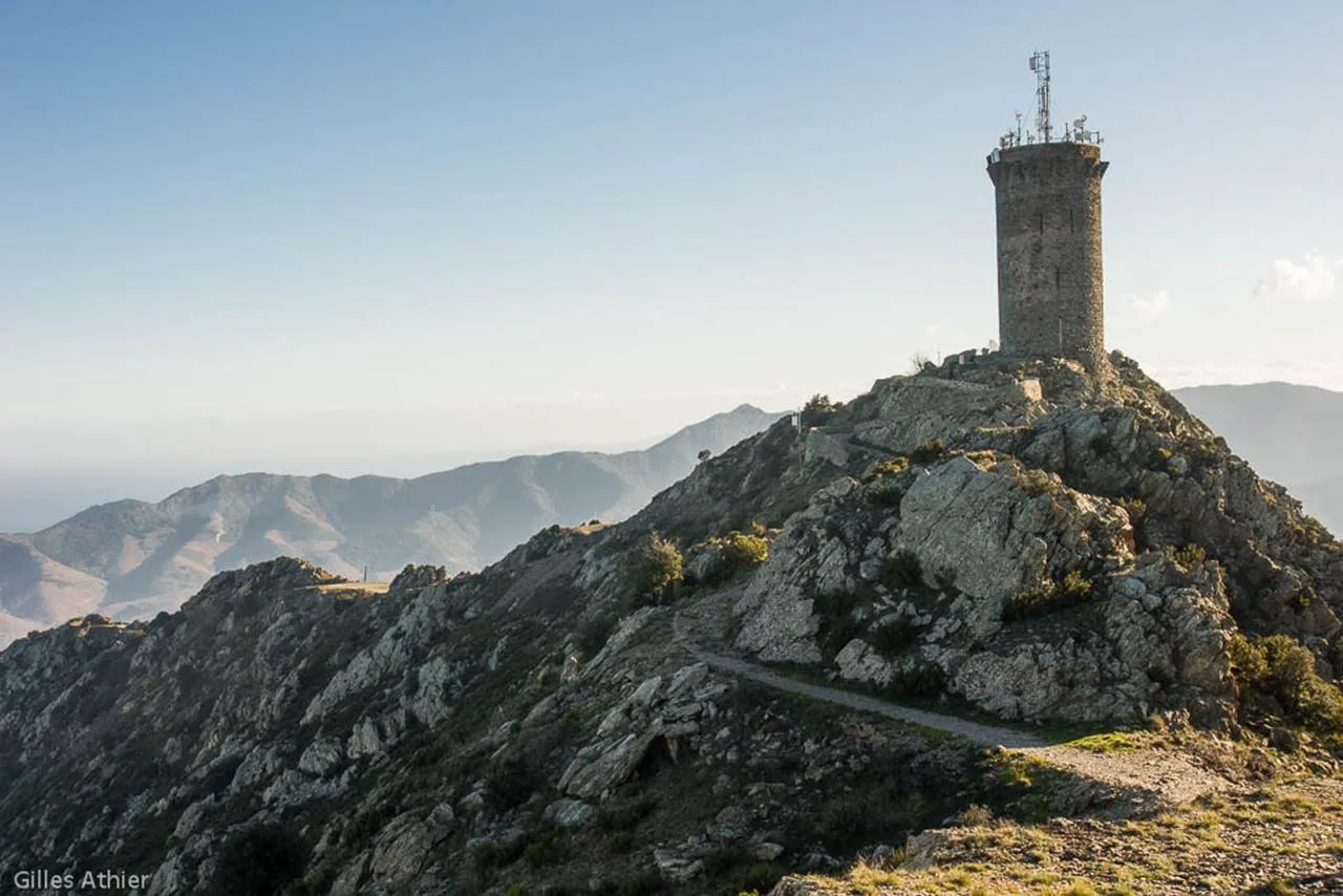
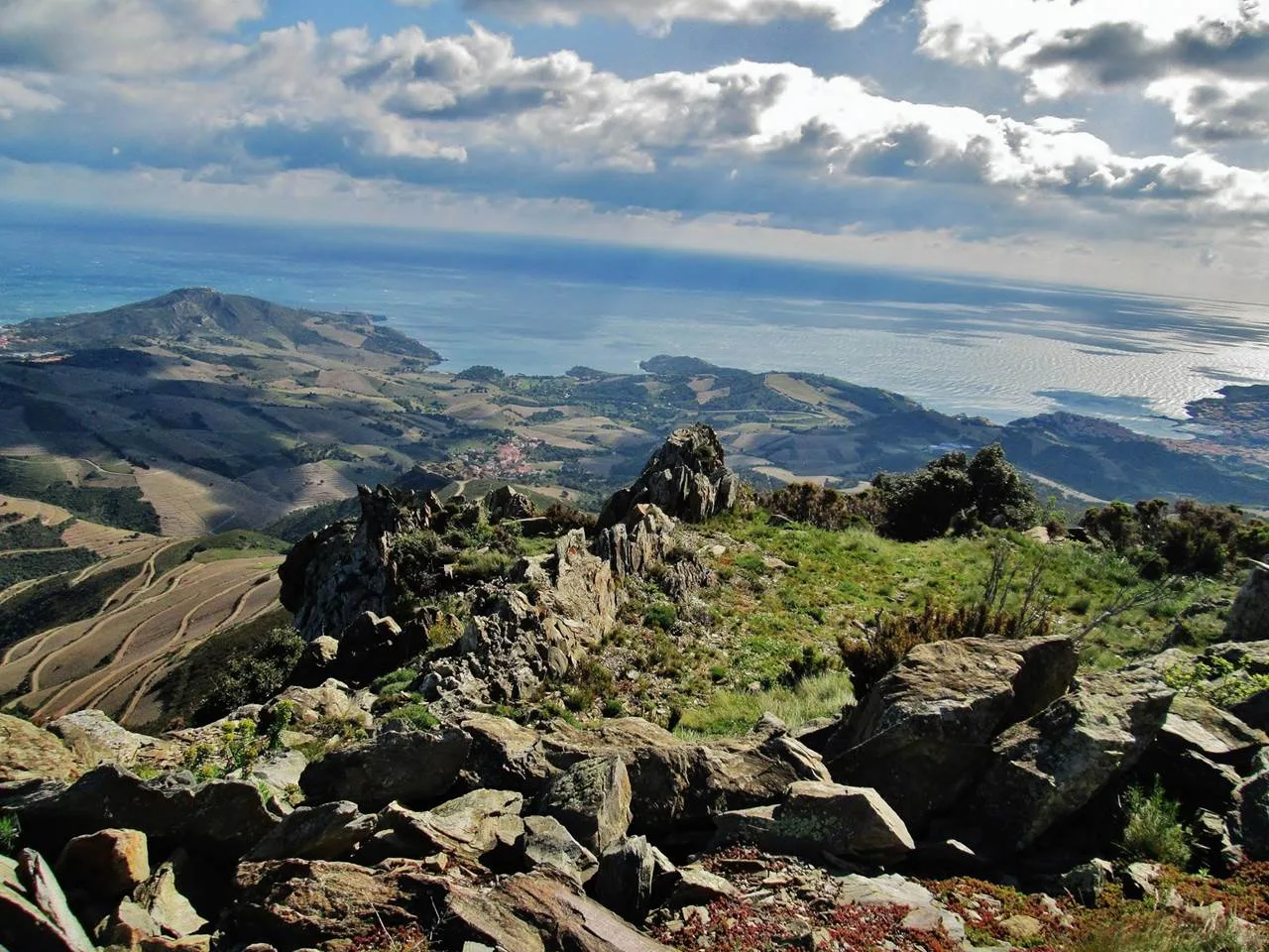
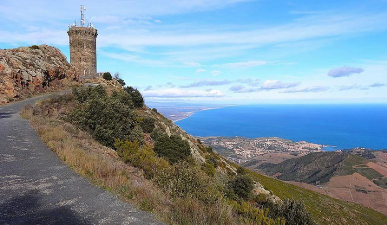
S'élevant à 652 mètres d'altitude, la tour Madeloc, bénéficie d’un panorama exceptionnel dominant la plaine et la côte du Roussillon. Ancienne tour à signaux elle servait autrefois à surveiller la Mer et l’Espagne afin de parer aux moindres attaques.
TOPO RANDO:
Accès piéton :
- Accéder jusqu'à l'Ermitage de Consolation, prendre les escaliers, puis le sentier très raide qui s'élève rapidement dans la rocaille pour atteindre la RD86 pour atteindre les hauteurs au-dessus de la Côte Vermeille.
- Suivre le sentier des crêtes
- Aller à droite pour arriver au Col de la Serre, puis à gauche vers la Batterie Taillefer, à l’horizon se profile le pic avec à son sommet la Tour Madeloc.
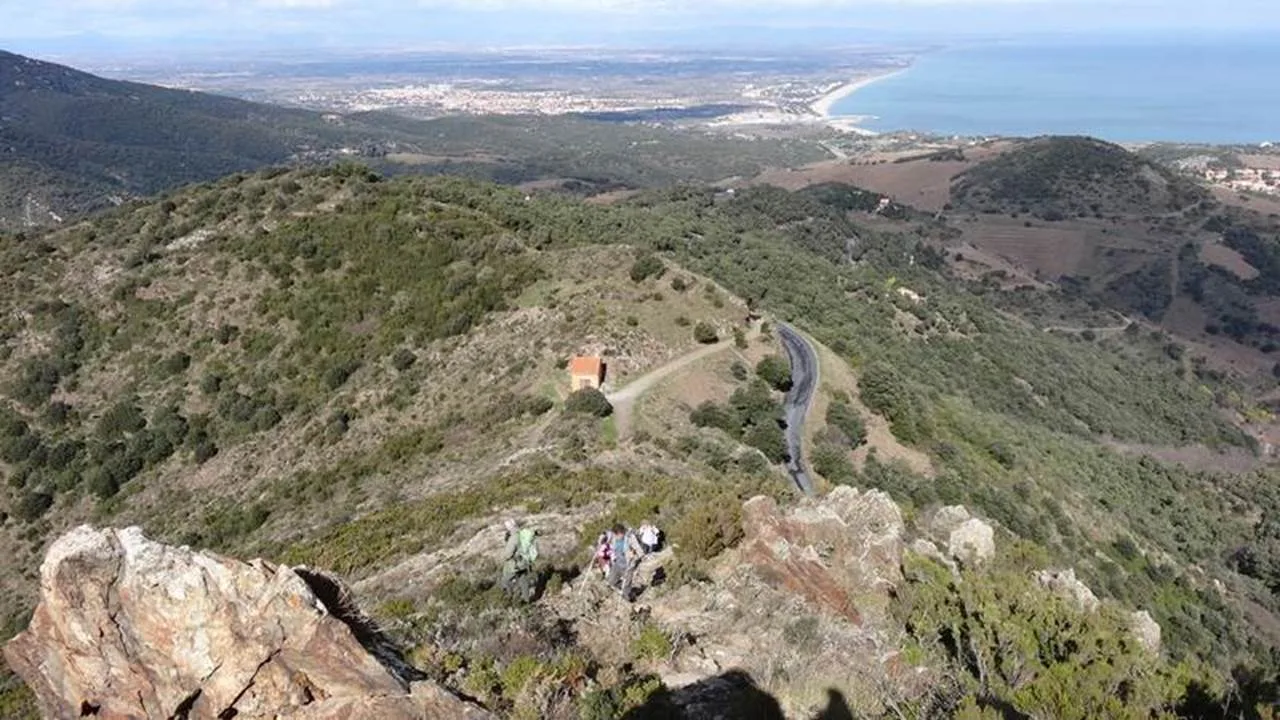
- Redescendre vers le Col de Taillefer et poursuivre votre chemin en face.
- Le chemin monte dans la garrigue et vous amène en surplomb de Port-Vendres
- Un dernier effort et votre but est atteint, après plusieurs virages, la Tour Madeloc s’offre à vous à 656 mètres d’altitude !
Il est également possible d'y accéder en vélo et se rapprocher en voiture.
UN PEU D'HISTOIRE:
La tour a été construite à 654 mètres d'altitude au XIIIème siècle. Elle fait partie d'un vaste réseau de tours à signaux situées dans le Roussillon. Elle contrôlait la côte. Au XVIIIème siècle, une garnison de soldats occupait les lieux. Elle mesure 30 mètres de haut et possède 25 mètre de circonférence. Ses murs qui se caractérisent par 2 mètres d'épaisseurs sont percés par plusieurs meurtrières. A l'intérieur se trouve trois étages sur voûtes ainsi qu'une citerne et une cheminée.