THE COASTAL PATH
Itinerary details
Description
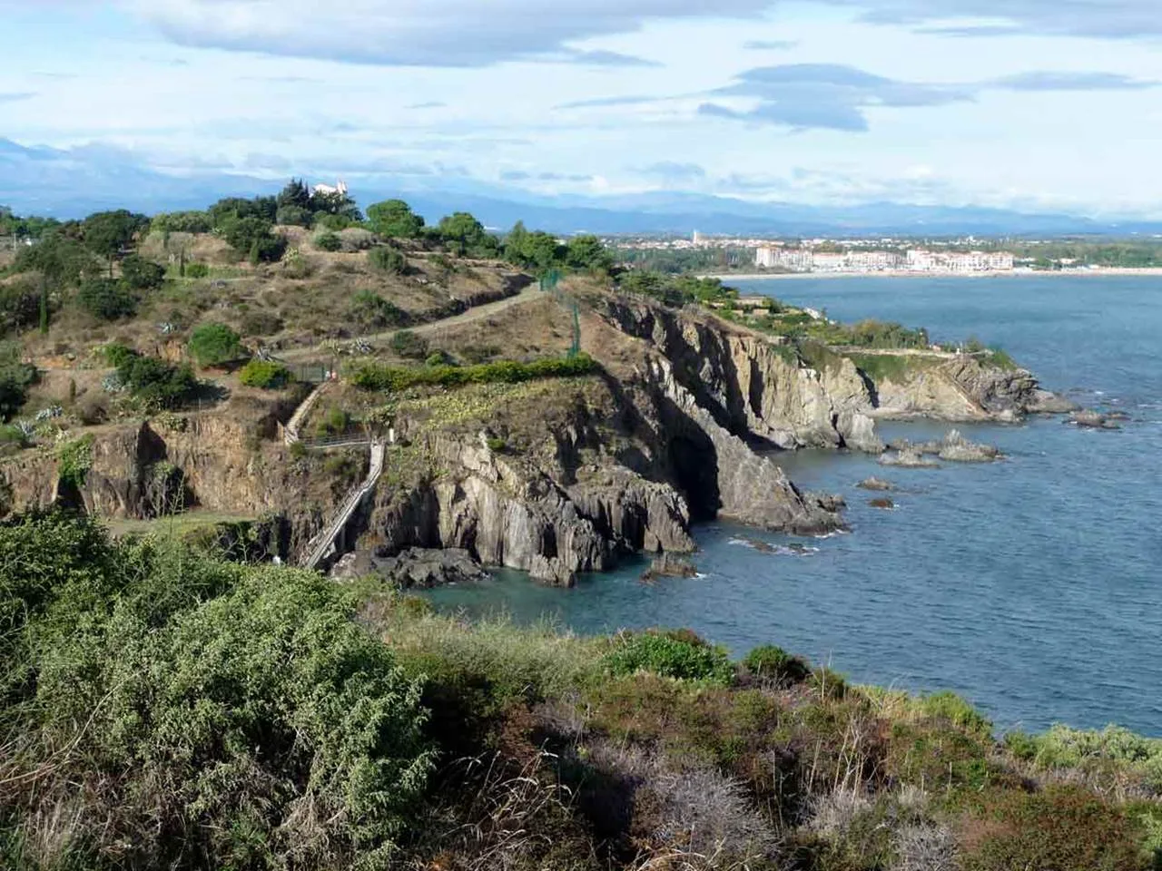
The coastal path from Le Racou to Collioure, also known as the "chemin des douaniers", is one of Collioure's most popular walking routes. Situated on the edge of the cliff, it overlooks the "chemin des contrebandiers" (smugglers' path), which is situated on the rocky coast.
HIKING TOPO :
- Start from car park P5, rue du Pla de las Fourques. On your right is Fort Miradou (17th century), owned by the army and now home to the CNEC (Centre National d'Entrainement Commando).
- On your left are Fort Rond and Fort Carré, built between 1726 and 1770 and linked by a vaulted passageway and covered walkway. Built to the north of Collioure to defend the town from invasion by land or sea, their primary function was to protect Fort Miradou and the Château Royal.
- At the end of the car park, the coastal path leads to the first sandy beaches.
- After walking on the concrete platform of a cannon, built during the German occupation, take the steps cut into the shale cliff.
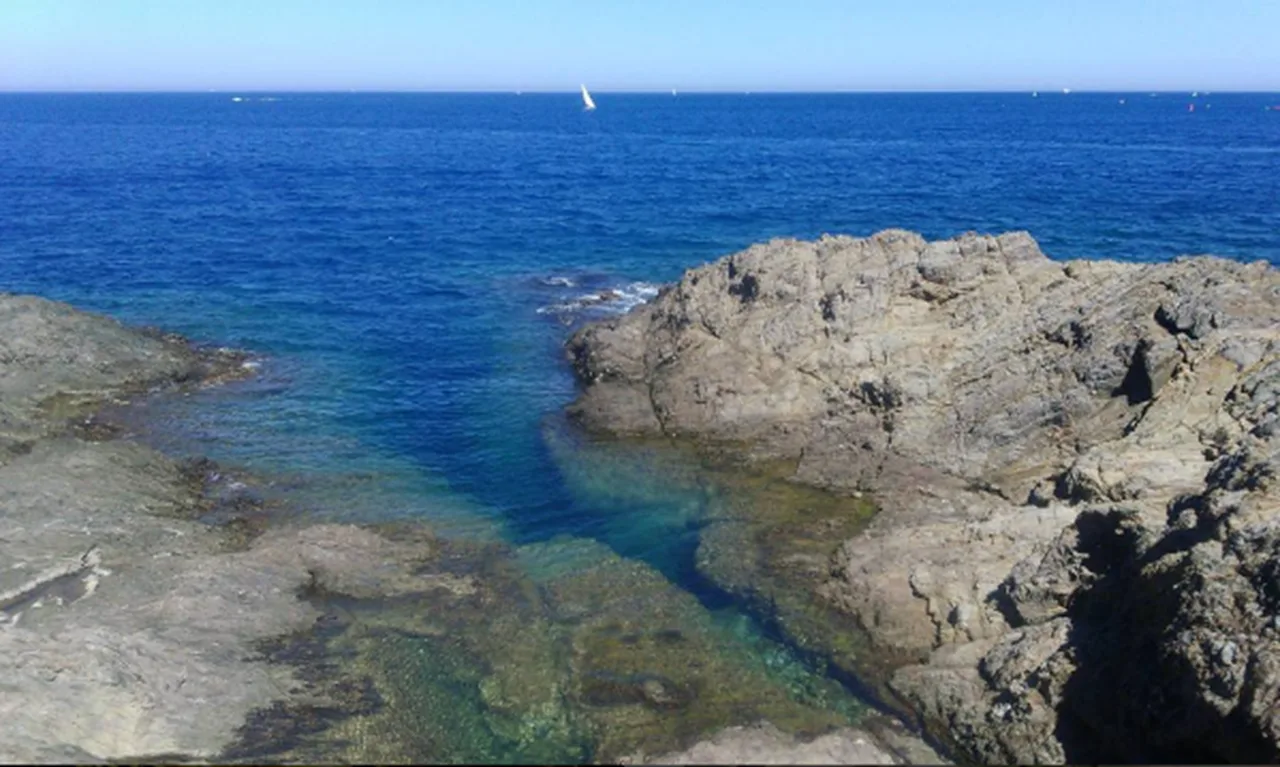
- Walk down to the small Ouille beach, which is very popular with those who prefer to avoid the crowds.
- Take the steps at the end of the beach, continue along the path alongside the campsites and climb back up to the top of the cliffs.
- Finally, head down to Le Racou beach.
ADDITIONAL INFORMATION:
- For the return journey, take the €1 bus from the Valmarie stop at Le Racou to Collioure town centre. The walk lasts 1h30.
- Difficult trail with young children.