THE HEIGHTS OF COLLIOURE
Itinerary details
Description
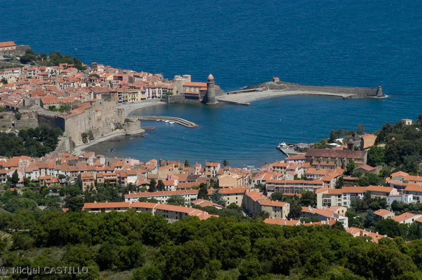
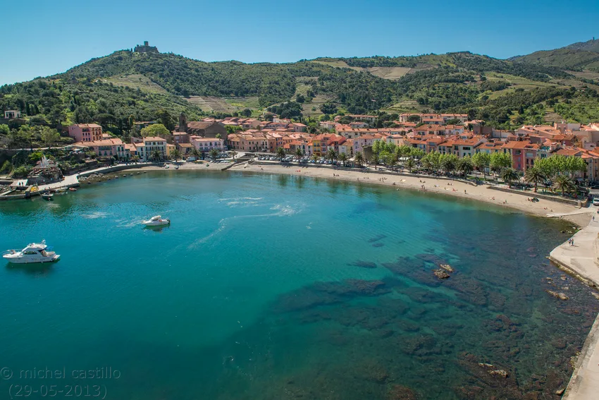
From the ramparts of Collioure's Royal Castle, the route climbs up through the vineyards, where the ancient hermitage of Notre-Dame de Consolation is nestled. On reaching the Col de Mollo, the descent via the Dugommier and Saint-Elme forts offers superb views of Port-Vendres, Collioure and the Côte Vermeille.
HIKING TOPO :
- Arriving at L'Ermitage Notre-Dame-de-Consolation, descend the ramp via the uphill route, then turn right to climb up to Coll de Molló.
- Turn left towards Port-Vendres. At the Col de Mara Cara (view of Port-Vendres), continue towards the Col d'en Raixat (DFCI). Pass the highest point of the route.
- Take the long descent on the main path on the right after the Coll d'en Raixat towards Fort Dugommier.
- After the rock, look out for a footpath on the left. It quickly veers right along a low wall to reach Fort Saint-Elme.
- At the foot of the fort, start your descent into Collioure along a path on the left towards the Moulin, which will take you all the way to Collioure town centre.